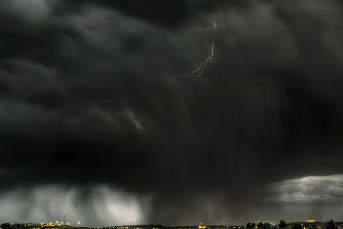
Southern Texas is in for a rainy weekend, with thunderstorms and a risk of flash flooding that could complicate travel and outdoor activities.
The forecast for Saturday, November 7, and Sunday, November 8, includes areas near San Antonio, Laredo, Corpus Christi, and the Rio Grande Valley.
Larger problems could arise when storms repeatedly dump rain on the same area, causing water to accumulate faster than it can drain away.
The National Weather Service (NWS) in Brownsville anticipates unstable conditions until Monday, with a possibility of isolated or scattered flooding in the southern part of the state.
Heavy to excessive rainfall is possible over southern Texas this weekend. A slight risk (level 2 of 4) for excessive rainfall has been issued for Sunday.
NEVER drive through floodwaters. You may have driven that road thousands of times, and think you know how deep that water is – but you never really know what’s lurking under murky floodwaters. https://t.co/qk3BcVP5M8
— National Weather Service (@NWS) November 6, 2026
. An atmospheric disturbance will move from the southwestern United States into northern Mexico, favoring rain development over Texas.
Its interaction with abundant moisture and a cold front will help maintain showers at various points throughout the weekend.
AccuWeather identifies a corridor of concern from the areas around San Antonio and Laredo to Corpus Christi, extending towards Brownsville.
Austin and Houston would be near the northern edge of the system, with a chance of rain; that doesn't mean they'll receive the same amounts forecast farther south.
The NWS in Brownsville forecasts widespread accumulations of between one and three inches, approximately 25 to 76 millimeters, within its forecast area.
In specific points, accumulations of between four and six inches, equivalent to around 102 to 152 millimeters, could be recorded, according to the update available on Friday.
Separately, AccuWeather suggests a localized maximum of 10 inches (254 millimeters) in its StormMax estimate.
This maximum represents a specific scenario from the private provider, not an amount expected in all cities or a confirmed accumulation.
For southern Texas, the official forecast places Sunday at a slight risk of excessive rain, level two of four.
Saturday and Monday appear at a marginal risk, level one of four. These categories describe regional probabilities and do not guarantee flooding in each community.
Areas that receive intense or successive showers are at higher risk of flooding, especially in low-lying areas and locations with limited drainage.
YOU MAY BE INTERESTED IN: Historic flooding prompts state of emergency in Georgia and Tennessee
The amounts and locations can still change. Checking the local forecast will be more useful than assuming identical conditions for the entire southern part of the state.
The most immediate danger for drivers will be encountering streets, low-lying areas, or stretches of road covered in water.
The NWS recommends turning back when faced with a flooded road: the depth can be deceptive, and the pavement may be damaged.
It's a good idea to check for road closures before heading out, keep weather alerts active, and have an alternative route available.
Those with outdoor plans should be prepared for schedule changes and follow official warnings as the system evolves.
SOURCE: accuweather
FORMAT: Photo depositphotos