More than 38 million people face a severe weather threat in the Northeast United States on Thursday as a large cold front advances.
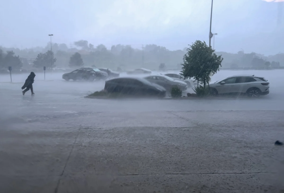
The system, which caused storms in the Great Lakes on Wednesday, may generate heavy rain, hail, dangerous gusts, and even some tornadoes during the afternoon and night.
Washington D.C., Philadelphia, and Baltimore are under a level 2 out of 5 severe weather threat, while New York is also among the areas under watch.
Deteriorating weather conditions are already impacting air travel, with disruptions announced at New York's John F. Kennedy International Airport.
SEVERE WATCH ‼️: More than 38 million Americans across the Northeast face severe weather risks Thursday, with over 25 million under flood watches. Damaging winds are the main threat, but tornadoes remain possible. Drop a note in the comments about how you’re preparing for the… pic.twitter.com/Ys4iQlRxrR
— FOX Weather (@foxweather) August 27, 2026
New York, Philadelphia, and Baltimore are under a level 1 out of 5 tornado threat due to the possibility that some storms may develop rotation.
FOX's Forecast Center noted that this is the seventh time in 2026 that the New York metropolitan area is at risk of tornadoes.
YOU MAY BE INTERESTED: El Niño gains strength while Invest 96L threatens to awaken the Atlantic
“This is the seventh time this year that the metropolitan area has been declared at risk of tornadoes by the Storm Prediction Center. Last year it was only once,” it stated.
The storms could organize into supercells and produce gusts over 60 mph, as well as large hail and intense rain.
More than 38 million people from New York City to Washington, D.C., are bracing for severe weather on Thursday, including flash flooding, damaging winds, large hail and possible tornadoes. https://t.co/BeVmQWnA9a pic.twitter.com/uhaOuHzxR0
— ABC News (@ABC) August 27, 2026
The cold front not only poses a threat due to strong winds, but the precipitation could also cause flash flooding in vulnerable urban areas.
More than 25 million people are under flood watches that stretch from Philadelphia to the New York City area.
Some areas could receive localized accumulations of over one or two inches of rain by early Friday morning, exacerbating potential drainage problems.
Philadelphia has already recorded four flash flood alerts in 2026, three of them in August, and has exceeded its monthly average rainfall by more than 1.5 inches.
SEVERE WEATHER HQ 🌩️: More than 38 million Americans are facing a Level 2 out 5 severe weather threat across the Northeast on Thursday, putting major cities on alert for risks of damaging winds, large hail and possible tornadoes, along with a flash flood threat. Full forecast: pic.twitter.com/07z0THtIzc
— FOX Weather (@foxweather) August 27, 2026
The period of highest risk will begin during the afternoon and could last until night as atmospheric instability increases ahead of the cold front.
The adverse conditions can also cause problems for those who need to travel by road or use airports in the major affected cities.
In New York, the weather conditions led John F. Kennedy International Airport to announce disruptions for travelers, so it is crucial to check each flight before traveling.
The impact could continue into early Friday morning due to the rain, especially in areas where the storms dump large amounts of water in a short time.
Source: Fox Weather.