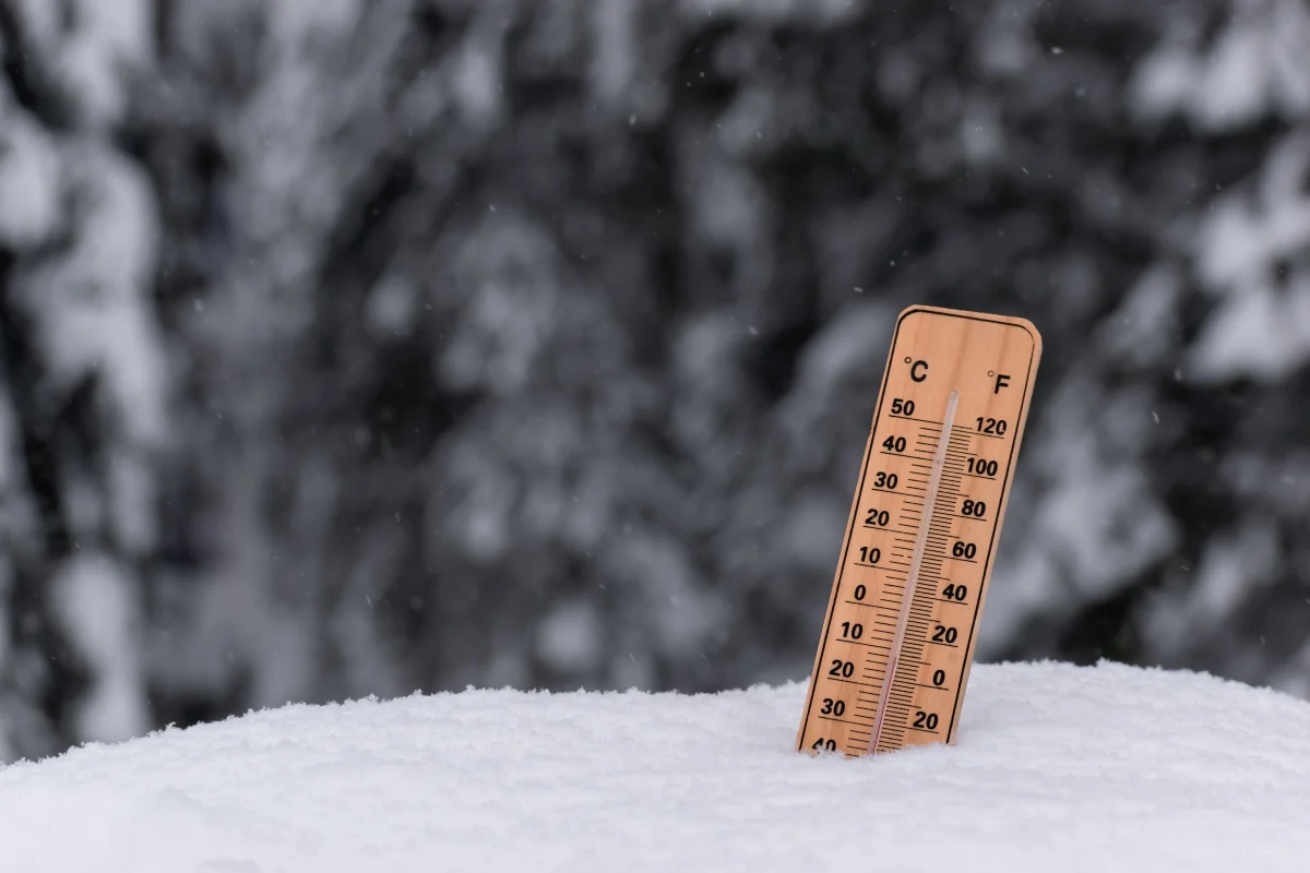
The polar vortex in November 2026 is showing signs of an unusually early disruption, although meteorologists caution that this does not necessarily mean an outbreak of extreme cold is headed for the United States.
Forecast models indicate that a sudden stratospheric warming event could occur in early November, a time when the polar vortex typically continues to strengthen.
The phenomenon can weaken or reverse the winds circulating around the Arctic, disrupting an atmospheric system that influences winter weather patterns.
However, an analysis published by weather forecasting company Brightband on October 29 suggests that the disturbance could be relatively brief, with limited effects on the eastern United States.
A CHILL COMING TO A CITY NEAR YOU?: Something truly unprecedented is brewing high above the Arctic as the polar vortex weakens on a crash course toward a full breakdown. As atmospheric ripples threaten to shake up winter forecasts worldwide, stay tuned to FOX Weather as our team tracks the vortex day by day!
— FOX Weather (@foxweather) October 31, 2026
What makes the potential event particularly unusual is its timing. A reversal of stratospheric winds in early November would be exceptionally early.
NOAA's sudden stratospheric warming records, covering 1958 through 2023, include November events, but they typically occurred later in the month.
One example is the November 1968 event, whose recorded date varies slightly depending on the atmospheric dataset used.
Therefore, any claim of a record-breaking event must await observational confirmation. A forecast alone does not establish that the phenomenon has occurred.
Polar Vortex November 2026: Could Record-Early Disruption Bring Extreme Cold? – PHOTO: EFE The stratospheric polar vortex is a large circulation of strong winds that forms high above the Arctic during the colder months of the year.
At times, atmospheric waves traveling upward from lower levels disrupt this circulation, causing temperatures in the polar stratosphere to rise.
When the disturbance becomes sufficiently strong, the prevailing winds can reverse direction, temporarily changing the structure of the polar vortex.
These changes can sometimes influence weather patterns closer to the Earth's surface over the following weeks, although the effects vary considerably from one event to another.
Laura Ciasto, a meteorologist with the National Weather Service, told USA TODAY that stratospheric winds could reverse direction between November 6 and 10.
Ciasto explained that sudden stratospheric warming events typically occur between January and March, when Arctic air has had more time to become extremely cold.
According to polar vortex expert Judah Cohen, any effects on surface weather could emerge in late November or December, although they might be delayed even further.
YOU MAY BE INTERESTED: California Beach Shooting Leaves 2 Dead, 2 Injured: What Happened in Moss Landing
Cohen considers an impact on northern Europe or Asia more likely than a significant cold outbreak in the eastern United States. However, the eventual weather effects remain uncertain.
For families planning trips, outdoor activities, or household heating expenses, the potential disruption is worth monitoring, but it is too early to predict specific local weather conditions.
Current projections do not provide a reliable basis for identifying which cities might experience extreme cold, how much snow could fall, or the exact dates of potentially hazardous temperatures.
The most practical approach is to monitor local forecasts from the National Weather Service as the relevant dates approach.
The key question is whether the stratospheric disturbance persists long enough to influence atmospheric circulation closer to the Earth's surface, where everyday weather conditions develop.
SOURCE: usatoday