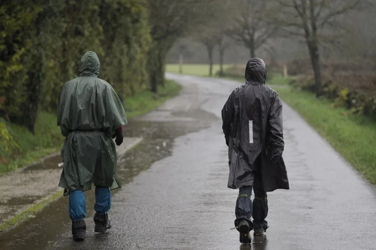
A series of atmospheric rivers is bringing persistent rain, strong winds, and the potential for localized flooding to western Washington and Oregon, while additional storms could reach California later this week.
The Center for Western Weather and Water Extremes (CW3E) reported that a weakening atmospheric river was affecting the region on Monday, November 9, with a stronger system expected on Tuesday, November 10.
An active Pacific jet stream is directing concentrated bands of moisture toward the West Coast. As moisture-laden air rises over mountain slopes, rainfall can intensify.
When the ground becomes saturated after repeated storms, it absorbs less water, increasing runoff into streams and rivers and raising the possibility of flooding.
A Category 3-4 Atmospheric River is about to bring significant rainfall to parts of the PNW, including localized flooding and high streamflow. 30-75mm Fraservalley/and Metro van south of the Fraser. 50-100mm northern sections, 150-250mm Northshore Mountains and locally up to 300mm West Van island. 1-3 In cascades 0.2-1in Puget sound. Up to 5IN Olympic mountains by late Thursday. Snow levels starting at 1500m in the north shore mountains rising to 2500m quickly. #BCStorm #WAWX #AtmosphericRiver
— WestCoastWX22 (@ElijahBman) November 9, 2026
FOX Weather forecasts rainfall totals of 5 to 8 inches or more in some parts of western Washington throughout the week, equivalent to approximately 13 to 20 centimeters.
Lower-elevation areas farther inland could receive between 1 and 3 inches of rain, or approximately 2.5 to 7.6 centimeters.
Coastal communities and the western slopes of the Cascade Range could experience periods of moderate to heavy rainfall, with the Olympic Mountains particularly exposed to the incoming storms.
Repeated rainfall could cause rivers and streams to rise across Washington and Oregon, although CW3E's November 9 outlook indicates that the overall risk of river flooding remains low.
🇺🇸 A series of storms brings rain and snow to the northwest of the US; nearly 50,000 residents are without electricity in the state of Washington, according to @foxweather
https://t.co/DBQFNVvFUr
— Global Network News 🌎 (@GlobalNetw33) November 8, 2026
Nearly 100,000 customers lost power across Washington overnight from Saturday, November 7, into Sunday, November 8, as powerful winds swept through the state, according to FOX Weather.
Wind gusts in lower-elevation areas reached 50 to 60 mph, approximately 80 to 97 km/h.
Near Mount Rainier, a gust reached 95 mph, or approximately 153 km/h, while Crystal Mountain recorded winds of 93 mph.
NOAA has identified a moderate risk of strong winds along portions of the West Coast on November 14 and 15, with additional wind hazards possible across a broader area.
Additional rain could reach Northern California by Friday, November 13, with the potential to extend toward the San Francisco Bay Area and Central Valley over the weekend.
NOAA's Climate Prediction Center indicates a 40% to 60% probability of heavy precipitation on November 14 and 15 across parts of southwestern Oregon and Northern and Central California.
The agency also identifies a moderate risk of heavy snowfall in the higher elevations of the Sierra Nevada and Klamath Mountains during the same period.
YOU MAY BE INTERESTED: Georgia and Tennessee Flooding: State of Emergency Declared, 80 Rescued
The exact path of the atmospheric rivers will determine which communities receive the heaviest rainfall. NOAA warns that considerable uncertainty remains regarding the timing, location, and intensity of the storms.
Check the latest alerts from the National Weather Service before traveling, particularly if your area is under a flood, wind, or winter storm warning.
Never drive through flooded roads. Turn around and find an alternative route, even if the water appears shallow.
If you plan to travel across the Sierra Nevada, check mountain pass conditions, road closures, and snow forecasts before leaving.
In areas exposed to strong winds, charge your phone, keep a flashlight available, and prepare for possible power outages.
SOURCE: foxweather